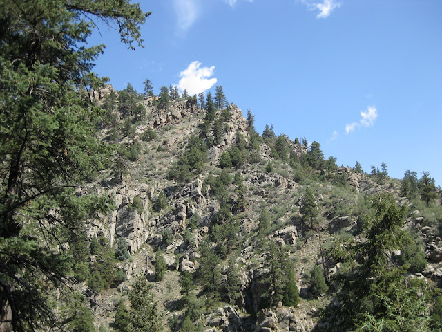
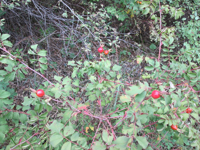
September 09, 2013

Chimney Gluch

Where we went: Chimney Gulch
What went wrong:  Even tho this was a moderate level hike, in the unusually hot weather this year we could have used more water than normal.
What we did right: A hat and sunblock make a difference on the open field hikes.  It's not a race, we adjusted our pace, and rested as needed.
How you can avoid mistakes:  Don't believe everything you read.  The guide book we read had the directions to the trail slightly wrong.  Once again, the map and the gps saved the day and we found the parking lot.

The trail head for Chimney Gulch is in Golden along Highway 6.  The hike begins in an open field where para gliders land.  Be sure to watch for them overhead.  This is a multi use trail, and was crowded with bikers.  The trail ends on Lariat Loop Road parking lot.

Begin along Highway 6.  Para gliders land in this meadow.  No restrooms at the trail head.

Pass by a water control gate, and bear right. 

There are many spur trails in the lower meadow, so keep heading uphill on the more obvious and well worm path.  Most of the trail is open and sunny.

The first section is steep, with residential properties along the gulch.


Signs will keep you on the trail and out of the homes' backyards.

Cross Lookout Mountain Road where a snowplow turnaround is used for parking.  Watch for bikes as well as other vehicles.


Travel through a wooded area, and cross two bridges.

Deer along the trail.

The upper end of Chimney Gulch Trail is the Lariat Loop parking lot. There is a port-a-potty here.

Take in the view before continuing up Lookout Mountain, or turn around and return to the parking lot.


Would we hike this trail again?  Probably not, although watching the para gliders is exciting.

September 02, 2013

Bald Mountain Scenic Area

Where we went:  Bald Mountain Scenic Area
What went wrong:  Bald Mountain and Bald Mountain Scenic Area are two different places.
What we did right:  The drive up Sunshine Canyon Road is as pleasant as the hike.
How you can avoid mistakes:  Easy, straightforward trail with few surprises.  It's marked as mountain lion habitat, but we didn't see any big cats.

With picnic tables at the trail head, and a park bench at the top, this is a relaxing place to spend time.

The trail head, with parking on Sunshine Canyon Road.  There is a port-a-potty in the parking lot.

Picnic area at beginning of trail.

Take the right Pines to Peaks trail for an easier climb to the top.

Trails are wide and lined with flowers.  Grasshoppers are everywhere.

Fire hit the east slope in 2010.


Rest stop overlooking the valley.

A short steep climb to the summit.

At the top.
Take in the views from the park bench.


Would we hike this trail again?  Yes, if we lived closer.  But the drive from Denver is too long for such a short hike.


Walden Ponds

Where we went:  Walden Ponds
What went wrong: Extremely low water levels made some areas not so pretty.
What we did right:  A short, easy hike through a nature preserve.
How you can avoid mistakes:  Make sure to investigate the type of trail, so you get what you expect from your trip.

This is a reclamation project by the city of Boulder, and kudos to them for trying, but it can't compete with the mountain trails.

Main entrance, with picnic area and restroom.

Walden Ponds map.
Paths are flat, wide, and easy to walk.


Fishing pond.

Canada geese.


Boardwalk along the marsh.


Through cottonwoods around the various lakes.

Horses on the property next door.


The duck pond is dry - tires show up from the bottom.

Would we hike this trail again?  No.

September 01, 2013

Chavez/Beaver Brook

Where we went:  Chavez/Beaver Brook Trail
What went wrong: This a a valley hike, so we had to climb last, when our legs were tired.
What we did right:  Stopped to rest when we needed to, but kept climbing slow and steady.
How you can avoid mistakes:  Watch for trail markers at the creek crossings, which are numerous.

This is a great wooded hike, which drops down into the valley and follows Beaver Brook.  The Beaver Brook Trail goes all the way to Windy Saddle Park, but by turning onto the Chavez trail, you can loop back to the parking area.  We've done the loop both ways, and prefer starting on Chavez.

Take the Chief Hosa exit on I-70, (bypass the Genesse Park exit) and take a right onto Stapleton Drive.  


The windy gravel road descends into Genesse park.


There are two parking areas, the upper, winter lot (which has a restroom) and the lower summer lots.  When crowded, park along the road.


Beaver Brook Trailhead.

Chavez Trailhead.


Follow the fire road to a meadow with picnic tables and restroom.  There are trail markers along the way.

The Chavez trail.

Passes by an Aspen grove.

Beginning of the steep drop through the trees.

The first of two bridges over the creek.


One of many creek crossings.


Watch for arrow markers.

Scramble over the rocks along the creek.


The end of the Chavez trail.

Connection to the Beaver Brook trail.

Sign on the Beaver Brook trail.  Nature Trail returns to the parking lot.
Watch for Beaver Brook trail markers along the way.

A rocky ledge - don't look down!


Begin the climb on the Beaver Brook trail.  It's rockier but not as steep as returning on the Chavez trail.


From the valley.

Rocky steps on the trail.


First hints of fall.

Would we hike this trail again?  Yes!  We've been here multiple times.