Where we went: Chavez/Beaver Brook Trail
What went wrong: This a a valley hike, so we had to climb last, when our legs were tired.
What we did right: Stopped to rest when we needed to, but kept climbing slow and steady.
How you can avoid mistakes: Watch for trail markers at the creek crossings, which are numerous.
This is a great wooded hike, which drops down into the valley and follows Beaver Brook. The Beaver Brook Trail goes all the way to Windy Saddle Park, but by turning onto the Chavez trail, you can loop back to the parking area. We've done the loop both ways, and prefer starting on Chavez.
 |
| Take the Chief Hosa exit on I-70, (bypass the Genesse Park exit) and take a right onto Stapleton Drive. |
 |
| The windy gravel road descends into Genesse park. |
 |
| There are two parking areas, the upper, winter lot (which has a
restroom) and the lower summer lots. When crowded, park along the road. |
 |
| Beaver Brook Trailhead. |
 |
| Chavez Trailhead. |
 |
| Follow the fire road to a meadow with picnic tables and restroom. There are trail markers along the way. |
 |
| The Chavez trail. |
 |
| Passes by an Aspen grove. |
 |
| Beginning of the steep drop through the trees. |
 |
| The first of two bridges over the creek. |
 |
| One of many creek crossings. |
 |
| Watch for arrow markers. |
 |
| Scramble over the rocks along the creek. | | | | | | | |
|
|
|
|
 |
| The end of the Chavez trail. |
 |
| Connection to the Beaver Brook trail. |
 |
| Sign on the Beaver Brook trail. Nature Trail returns to the parking lot. |
 |
| Watch for Beaver Brook trail markers along the way. |
 |
| A rocky ledge - don't look down! |
 |
| Begin the climb on the Beaver Brook trail. It's rockier but not as steep as returning on the Chavez trail. |
 |
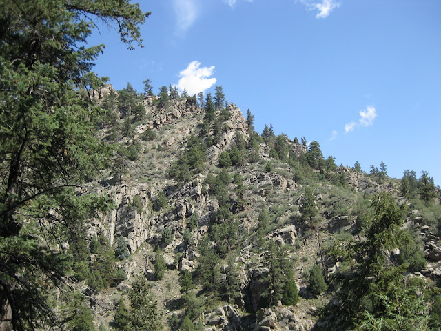
| From the valley. |
 |
| Rocky steps on the trail. |
 |
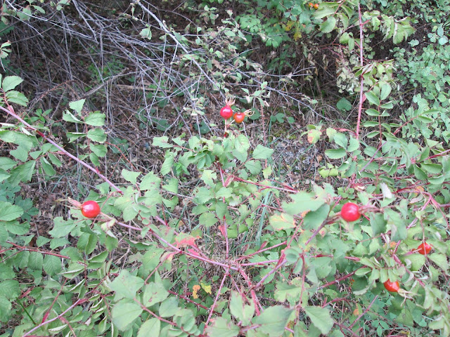
| First hints of fall. |
Would we hike this trail again? Yes! We've been here multiple times.


